
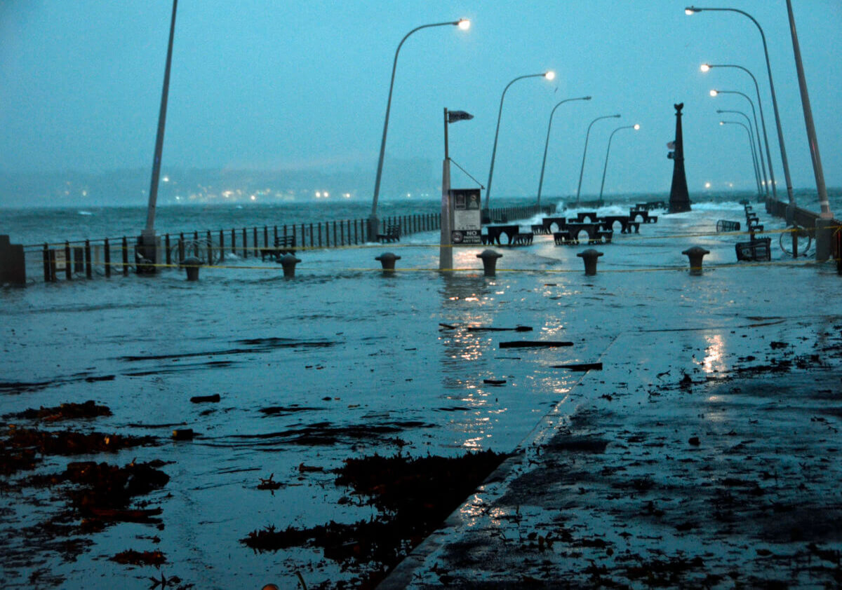
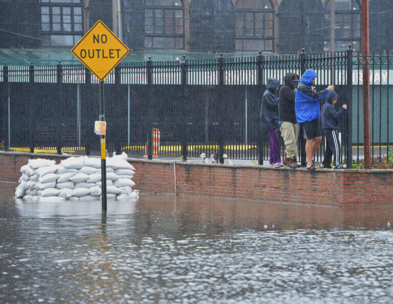
Hurricane Sandy torched Breezy Point - before and after photos from above
We thought we’d post a side by side comparison of Breezy Point after the fires during Hurricane Sandy, from an aerial perspective. Both images come from Google Maps. Click to enlarge. First, before: And after: The Google Crisis Map: Superstorm Sandy is where you can see this and more images. Click the Post-Sandy Imagery box…

We thought we’d post a side by side comparison of Breezy Point after the fires during Hurricane Sandy, from an aerial perspective. Both images come from Google Maps. Click to enlarge. First, before:

And after:

The Google Crisis Map: Superstorm Sandy is where you can see this and more images. Click the Post-Sandy Imagery box on the right navigation column, and it will give you a number of areas where you can zoom into. This is the Sea Gate to Fire Island, NY option. Click it on-and-off to do your own comparison. This area also encompasses the communities of Broad Channel, Belle Harbor, and the rest of the Rockaway peninsula.
Superstorm Sandy [Google Crisis Map]
UPDATED – Broad Channel also abused by Hurricane Sandy [QNYC]
Yet another fire in the Rockaways, this one in Belle Harbor [QNYC]


What's Your Take? Leave a Comment