
Updated: The Halletts Point development in Astoria - overview and photos
Halletts Point redevelopment is back in the news. The NYC EDC, which has backed the East River Ferry, is looking to extend the ferry service to Halletts Point. From DNAinfo: City and federal officials are looking for funding from Washington to expand the East River Ferry, pushing a plan that would bring the waterway service…

Halletts Point redevelopment is back in the news. The NYC EDC, which has backed the East River Ferry, is looking to extend the ferry service to Halletts Point.
From DNAinfo:
City and federal officials are looking for funding from Washington to expand the East River Ferry, pushing a plan that would bring the waterway service to Astoria’s developing Hallets Point peninsula and several other city neighborhoods.
The following was originally published January 4, 2013.
City and federal officials are looking for funding from Washington to expand the East River Ferry, pushing a plan that would bring the waterway service to Astoria’s developing Hallets Point peninsula and several other city neighborhoods.
Read more: http://www.dnainfo.com/new-york/20130404/astoria/officials-push-for-east-river-ferry-expansion-astorias-hallets-point#ixzz2Pt1zo2Ax
Image source: Lincoln Equities
The Halletts Point development has been back in the news recently. First, what is Halletts Point? It’s a new development planned for the waterfront along the land mass called Hallett’s Point, a peninsula that juts out into the East River (GMAP) just south of Astoria Park. It is home to the Astoria Houses, Build it Green! and a few other businesses (including the mysterious Hellgate Filming Studios), and Whitey Ford Field.
Here are some of the elements in this development:
- Lincoln Equities is the developer.
- Costs are estimated at $1 billion
- The development could create jobs though construction and later, retail.
- The mixed-use development is slated to have eight buildings on ten acres.
- Three of the buildings would be on existing NYCHA property (Astoria Houses)
- Seven of the buildings would be residential, containing 2,200 apartments
- 20% of the units would be affordable housing, geared toward seniors.
- The other 80% of the units would be market rate housing.
- Heights of the buildings would range from 20 to 40 stories.
- Other elements of the development could include a K-8 public school; retail, including a supermarket, drug store and restaurants; and a landscaped public esplanade along the East River.
- An on-street bus layover facility would be built to accommodate increased transit needs.
- Some streets would be remapped.
- A water taxi dock (maybe an East River Ferry stop?) is also a possibility.
- Parking is planned for the development.
Here’s a drawing of the map of the area with the Halletts Point development in place:

The following image shows the location of the buildings a little clearer (click to enlarge):

Image source: NYC.gov
Here’s yet another view, which gives a little sense of depth (click to enlarge):

Image source: NYC.gov
A document called Halletts Point Rezoning Environmental Impact Statement Draft Scope of Work was released and it is chock full of information about the site and the plans for the development and area. Here is a segment from this (quite long) document that talks about the site in more detail, and gives you an idea of the area as it is now.
The WF [Waterfront] Parcel, Eastern Parcel, and Buildings 6, 7, and 8 on the NYCHA Parcel comprise a total of approximately 420,000 sf (9.65 acres); Buildings 1 through 5 on the WF and Eastern Parcels are approximately 343,000 sf (7.87 acres, including land underwater) and Buildings 6 through 8 on the NYCHA Parcel are approximately 92,659 sf (2.13 acres). The Eastern Parcel is occupied by an electronics and ink toner company, who is expected to vacate. The WF Parcel contains three building structures and three open lots. It is predominantly vacant but portions of this waterfront parcel have been leased to two tenants for construction and telecommunications storage and parking on a short-term or month-to-month lease agreement. The waterfront along the project site consists of structural bulkheads and soil embankments armored with large stone rip-rap or construction debris. An existing platform and bulkhead extend approximately 175 feet north from the southern tip of the site. The bulkhead and platform are in good overall structural condition. The remainder of the waterfront along the waterfront parcel consists of a soil embankment lined with large stone rip-rap. Buildings 1 through 5 are currently zoned M1-1, permitting light industrial uses subject to performance standards common to all M1 districts.
Buildings 6 through 8 are zoned R6 and contain parking lots, trash compactors, walkways, and a small amount of landscaped area within the Astoria Houses campus. The Astoria Houses contains 22 six- and seven-story residential buildings on an approximately 27-acre campus with a total of 1,103 residential units, as well as surface parking lots, a day care center and senior center, basketball courts and playgrounds, walkways, and other landscaped areas. The campus was completed in 1951. The NYCHA Rezoning Area is also located within the Astoria Houses campus.
Whitey Ford Field is an approximately 3.6-acre park bounded by the East River, 26th Avenue, and 2nd Street, containing a baseball field, bleachers, and open lawn area. It is under the jurisdiction of the New York City Department of Parks and Recreation (DPR), although it is not mapped parkland. Whitey Ford Field is currently zoned R6. The Parks Parcel consists of a portion of the Hallet’s Cove Playground, which contains an asphalt baseball field and basketball courts. The approximately 10-foot wide alienated Parks Parcel that would be incorporated as part of the project includes a number of trees, the park perimeter fence, and a portion of the perimeter sidewalk and baseball field back stop area. The Parks Parcel would be incorporated in the NYCHA Astoria Houses campus as part of the proposed project.
Back in December, there was a public scoping session at the Goodwill Astoria Headquarters (GMAP), which is located in the Astoria Houses. The next step for the development is to go through the city’s formal Uniform Land Use Review Procedure (ULURP), which Linh Do, of the consulting firm AKRF, believes will happen in February 2013. After that, Community Board 1 will preside over the ULURP. If all goes well, the developers could break ground as early as 2014. The project could be completed by 2022, nine years from now.

An artist’s rendering of the Halletts Point development
Local opinions about the development range from support, neutrality, and caution. Bishop Mitchell Taylor, who is among other things, CEO of the East River Development Alliance (ERDA), a not-for-profit that he founded (2004) “to expand economic opportunity for public housing residents,” supports the development and said, “The project is only going to enhance (public housing’s) footprint.” Community Board 1 has not taken a position on the proposal. Senator Michael Gianaris, (he represents Halletts Point), supports the project, though is concerned that existing services and infrastructure could be stressed. Still, he says the growth “helps boost our economy by attracting more jobs as well as residents to fill them.” Astoria City Councilman Peter Vallone hasn’t taken a side, though (however, his father, Vallone Sr., is a consultant to the developer).
Transit and transportation issues are something to consider – the developers have included parking the plan, and it sounds like additional bus service is planned (one of the buses that travels there now is the Q103, and this development could be enough to extend its schedule). But will that be enough public transportation? This patch of land is located over a mile from the closest N/Q subway stop, so direct subway access is not likely a practical form of transportation for residents here (bus to subway is the current option). Perhaps they will also implement a subway shuttle – Shore Towers (GMAP), the established development just south of Astoria Park, has done such a thing.
On the subject of transportation, there are plans to adjust the streets in this area. Again, from the Halletts Point Rezoning Environmental Impact Statement Draft Scope of Work document. Most notably, Astoria Boulevard would be connected through the Astoria Houses:
A portion of 27th Avenue, located west of 1st Street and currently used as accessory parking for adjacent businesses, would be demapped and transformed into a pedestrian waterfront access corridor. The portion of 26th Avenue west of 1st Street would also be demapped and transformed into a pedestrian waterfront access corridor. In addition, a new connecting street segment between existing mapped portions of Astoria Boulevard is proposed on the NYCHA parcel. Between 1st Street and 8th Street, Astoria Boulevard would be two-directional with one lane in either direction. Parking may be added along some segments of the street, depending on required street widths and the location of existing mature trees.
To the north, 26th Avenue would become one-way eastbound between 1st and 2nd Streets. Between 26th and 27th Avenues, 1st Street would become one way northbound and 2nd Street would become one-way southbound. Third and 4th Streets would remain unchanged in their directionality between 26th and 27th Avenues.
Here is an image of the proposed street network changes (click to enlarge):

Image source: NYC.gov
Currently, it’s a pretty desolate part of Astoria (apart from the housing project), and we would guess that a lot of Astorians haven’t made it out that far. Build It Green! and Whitey Ford Field are there, and of course the Astoria Houses. We took a walk out there and snapped some shots – we found lots of quiet, a few buildings under construction, a couple of stray dogs roaming the streets, and a homeless man occupying one of the vacant lots. Here is more of what we saw.

The long view along 26th Avenue toward the waterfront

The western end of 26th Avenue – Whitey Ford Field to the right

Neighboring Whitey Ford Field

Looking east from Halletts Point

The nearby Hellgate Filming Studios

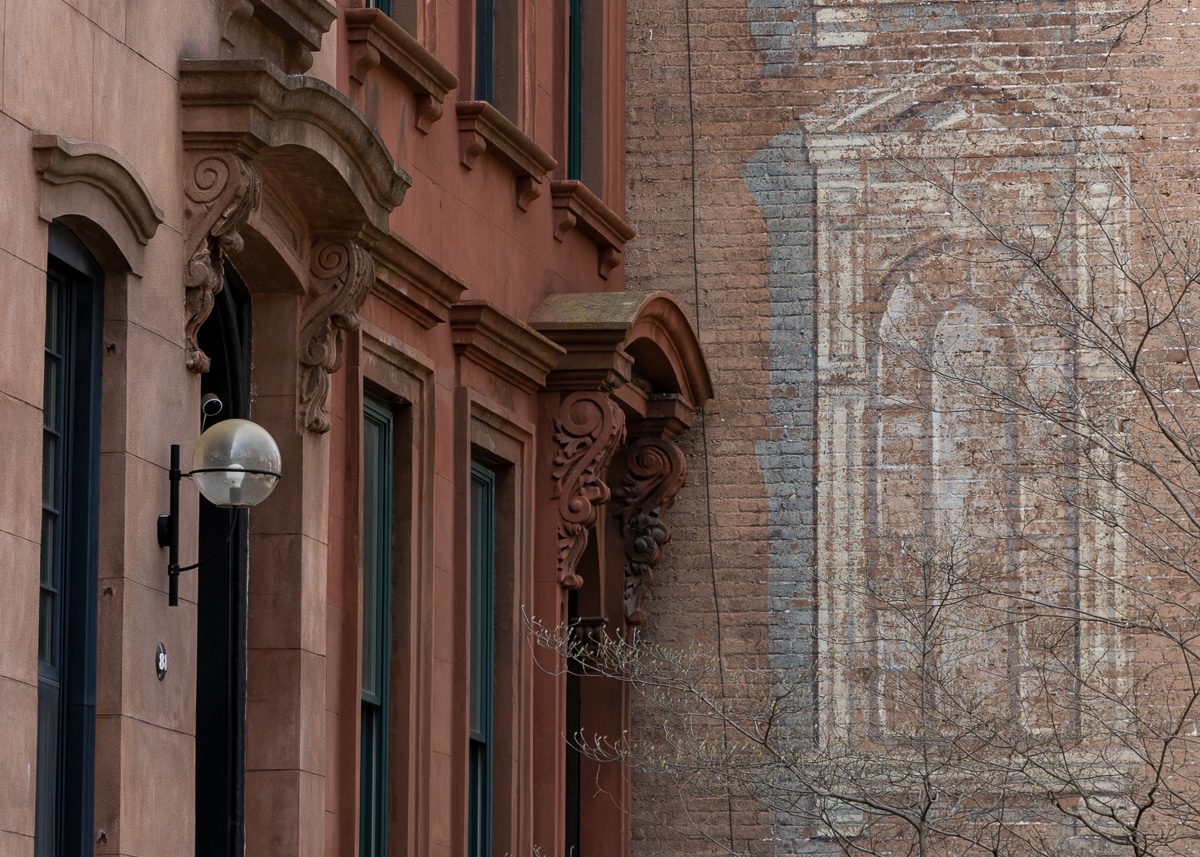
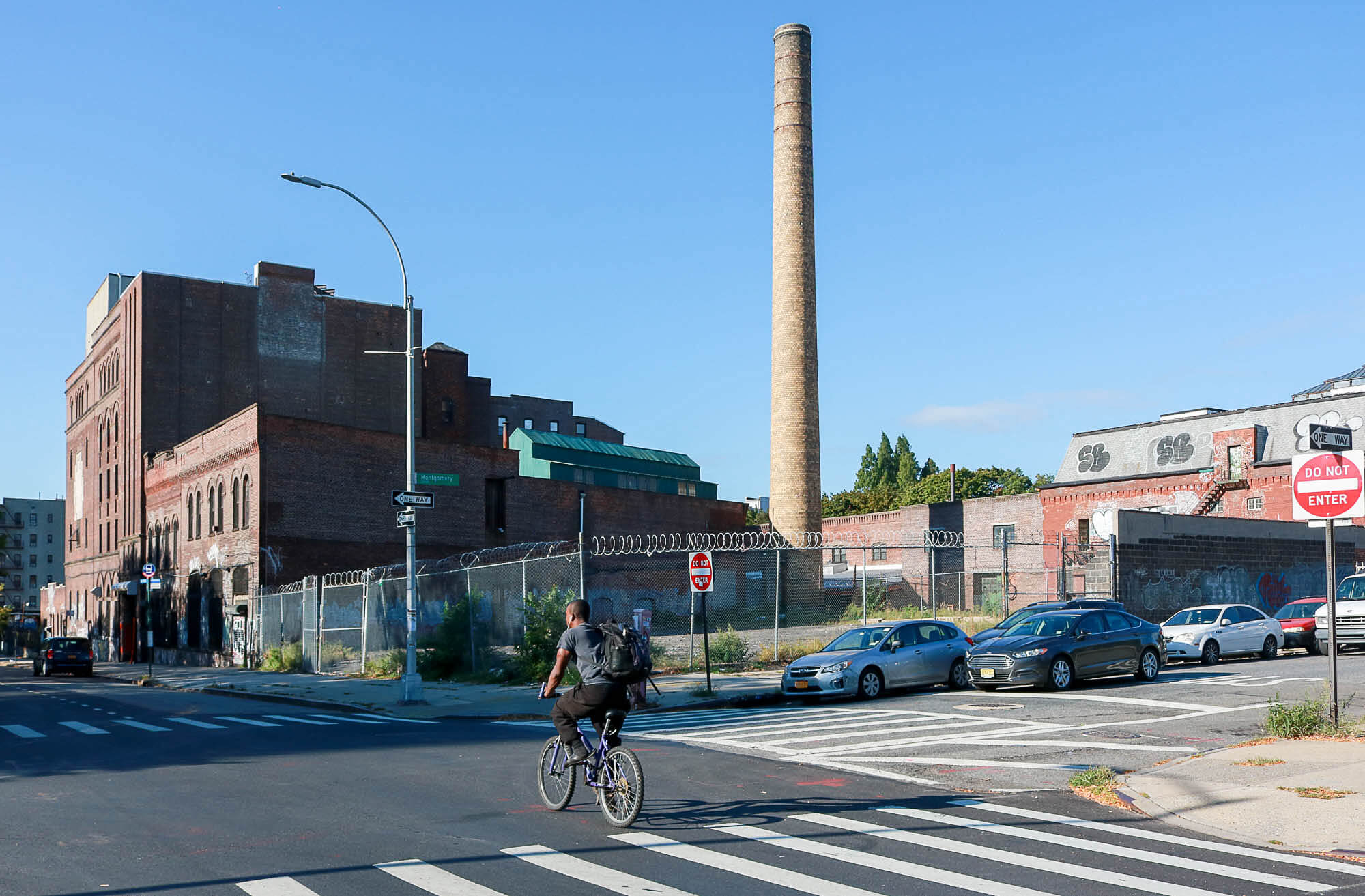
More of the industrial neighborhood surrounding the area

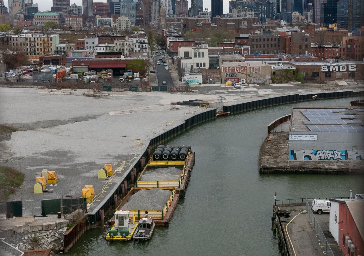
The view from the water’s edge, looking out to Manhattan

The lot on which the north end of the Halletts Point development will sit. To the left out of sight is a small homeless camp

Another view of the location of the Halletts Point development

Looking south from Halletts Point (Big Allis power plant stacks are in the distance)

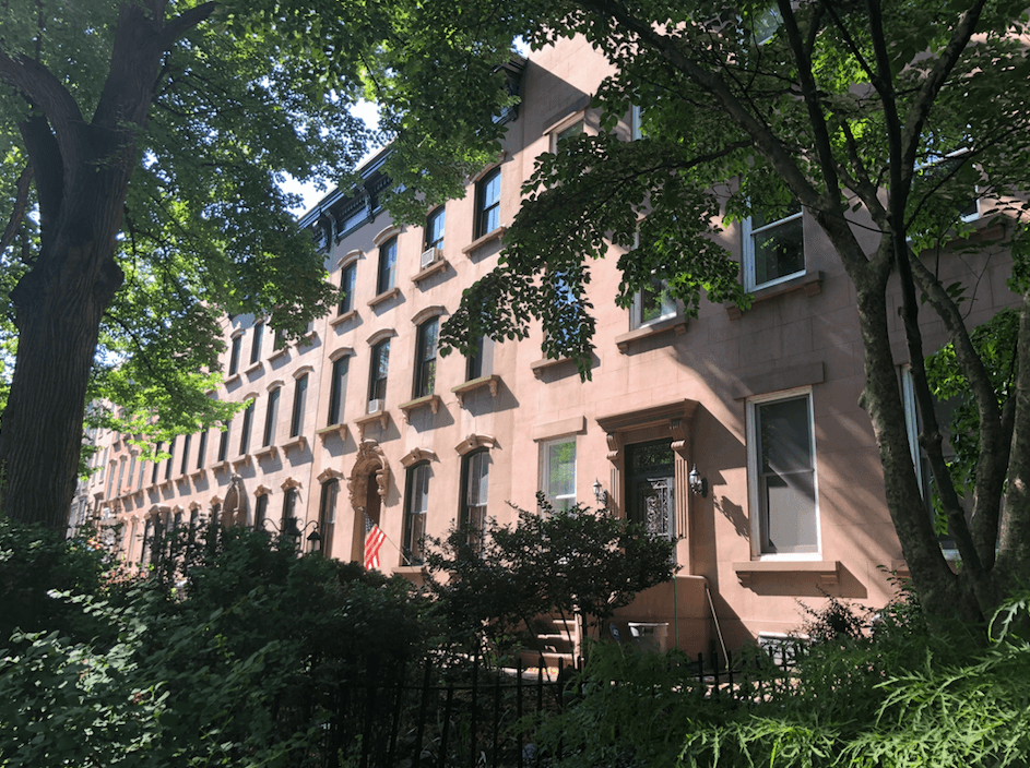
The nearby Astoria Houses

Looking west along 27th Avenue – note the newer building on the right

Looking back toward Halletts Point from Shore Towers
New Astoria complex may lure supermarket [Times Ledger]
Hallets Point Development May Include New School on NYCHA Campus [DNAinfo]
DCP Hosts Meeting On Mixed Use Complex [Queens Gazette]
Massive Hallets Point Development Project Gets Boost from State [DNAinfo]
Ambitious residential and commercial project proposed for Astoria waterfront [NYDN]


If building goes forward I recommend getting on board with pledge 2 protect and Residents for Sane Trash. Otherwise the view from the luxury apartments will be a constant flow of tugs towing barges of garbage. You would also be able to see the source, a two acre, ten story high garbage transfer facility jutting out into the lovely cove just across the river in Manhattan. Hopefully political needs will not get in the way of taking a stand to prevent construction of this misguided East 91st St MTS project.
That are is on my list of areas to phtotgraph this year. Looks like I better get out ther sooner then later.
20-40 stories?? ouch. That area being more inviting would be cool but a wall of glass castles ala LIC much less so.