
Angles, Obtuse and Acute, of Queens
To begin with, I begged my wife to consider the concept of us purchasing the former White Castle regional office, found at the corner of 69th Street and 34th Avenue, for usage as a home. She blew me off, saying that we’d have stoned teenagers turning up in our driveway every night at 2 am….

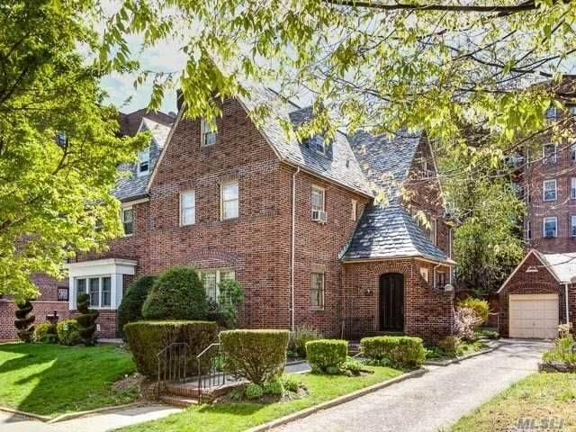
To begin with, I begged my wife to consider the concept of us purchasing the former White Castle regional office, found at the corner of 69th Street and 34th Avenue, for usage as a home. She blew me off, saying that we’d have stoned teenagers turning up in our driveway every night at 2 am. She also did a quick check of Q’Stoner’s posts from December of 2014 and pointed out that we haven’t got five million bucks to buy it with. I love the idea of living in a white ceramic building with castellations (because of, y’know, zombies), but even more interesting would be life on what I call “an angle” between neighborhoods (it would also allow me to embrace Bowling as a sport, given the neighboring corner’s occupation).
There’s spots like this all over Queens. It ain’t Woodside or Elmhurst, and it ain’t quite Jackson Heights (technically, it’s Jackson Heights) rather this area is an angle formed between them.
More after the jump…

This “angle” business is something entirely of my own invention, by the way, so take it with a grain of salt. Queens is a collection of small towns and cities which were lumped together back during the municipal consolidation. That’s why you address a letter to Astoria 11103, or LIC 11101 rather than Queens 11101. It’s also why the street plan seems so disjointed. Certain lanes, like 69th Street, sit atop pre consolidation pathways that date all the way back to the 1800s and connect Colonial era communities. In this case, it’s the route from Bowery Bay (modern day LaGuardia area) south to Maspeth. There’s a bunch of these ambiguous spots, or angles, all over Western Queens.
I don’t get over this way that often, incidentally, as I generally prefer wandering around industrial zones rather than residential ones. People can be troublesome.

Walking down from the Heights of Jackson along Broadway into Woodside – towards the angle it forms with the rolling hillocks of almond eyed Astoria and Sunnyside at Northern Boulevard and Woodside Avenue – I stopped for a quick sit down at the “Sergeant Collins Triangle” park to tie my shoe. This is Park number Q501, incidentally.
A small pocket park that sits on the triangle formed by 59th Street, 34th Avenue, and Broadway – it is a fairly unremarkable but well used space. At the corner of 34th and Broadway, this gorgeous bit of stencil art was observed on the sidewalk.

All the signs point to this being some sort of memorial, and the “right of way” text suggests (to me, at least) that someone named Luis was likely killed in a motor vehicle collision at this corner. The design and execution of the thing was fantastic, and looked more like a tattoo than a painting. Any of you Queensicans know something about this painting found at Sergeant Collins Triangle in the angle between Woodside, Astoria, and Jackson Heights? Who the artist is, or what happened to Luis? UPDATE: Here’s some background on the stencil artwork, part of a memorial to cyclists and pedestrians killed in traffic.
Fill us in if you do, in the comments section below.
Newtown Creek Alliance Historian Mitch Waxman lives in Astoria and blogs at Newtown Pentacle.

More on the memorial art: http://gothamist.com/2014/08/05/nyc_vision_zero_art.php#photo-1