
Google Crisis Maps and more in the QNYC Evening Edition for Monday November 5, 2012
Google Crisis Maps – lots of information together The Google Crisis Maps have become excellent resources in this post-Sandy world, providing an easy to understand landscape full of indications of traffic conditions, public transit, power outage info, shelters and recovery centers, and much more. There are different layers that you can check on or off if…
Google Crisis Maps – lots of information together
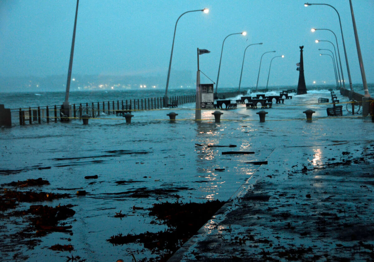
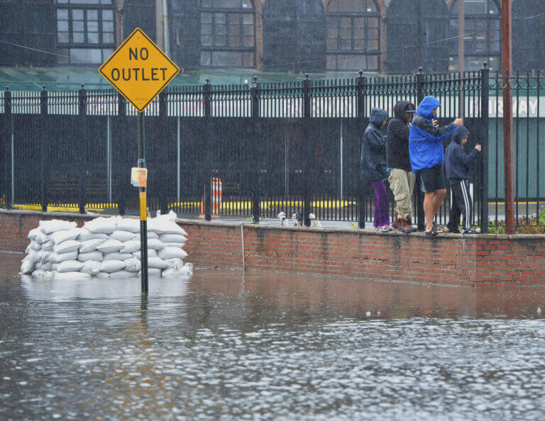
The Google Crisis Maps have become excellent resources in this post-Sandy world, providing an easy to understand landscape full of indications of traffic conditions, public transit, power outage info, shelters and recovery centers, and much more. There are different layers that you can check on or off if you want to see one thing or multiple things at once. At the start of the storm, there were only a few options, now there are over 20. Keep it handy as we all recover from this crazy storm.
Where to find gas after the hurricane
There are a number of maps that have been developed to help people find gas after Hurricane Sandy. Some are twitter based, some are dependent on people inputting info onto the map, and some are form-based, where you can fill out some fields and enter info that way. So check out these maps and see if they can help – we hope so.
The Rockaways need us
[youtube http://www.youtube.com/watch?v=olForyqALZ4]
Who is your Hurricane Sandy hero?
We asked our readers who their Hurricane Sandy hero is and we got a couple of great responses.
@queensnycity My #HurricaneSandy hero is @costadl in #Astoria who helped coordinate a donation site and drop-off. Also, everyone who helped!
— Erin Smith (@gfreefun) November 5, 2012
@queensnycity The servicemen and women, the volunteers, those who fostered displaced animals & every1 who worked tirelessly to help out!
— StandByNY (@StandByNY) November 5, 2012
Queens Kickshaw Hurricane Sandy fundraiser
The folks over at The Queens Kickshaw are hosting a fundraiser on Thursday, November 8 – 100% of their profits that day will be donated to the American Red Cross. There will also be live music from 8-10pm that night. This is a great reason to head to the Kickshaw for the first or simply the next visit. Hope to see you there.


What's Your Take? Leave a Comment