Slow Zones Slated for Sunnyside, Sunnyside Gardens and Woodside
The Department of Transportation will install two Neighborhood Slow Zones in Queens by 2014, one in Sunnyside Gardens and Woodside and another in Sunnyside south of Queens Boulevard (map pictured above). A press release by Council Member Van Bramer, who requested the slow zones, says “The ultimate goal of the Neighborhood Slow Zone program is…

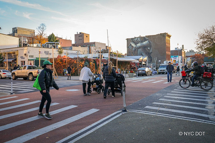
The Department of Transportation will install two Neighborhood Slow Zones in Queens by 2014, one in Sunnyside Gardens and Woodside and another in Sunnyside south of Queens Boulevard (map pictured above). A press release by Council Member Van Bramer, who requested the slow zones, says “The ultimate goal of the Neighborhood Slow Zone program is to lower the incidence and severity of crashes. Slow zones also seek to enhance quality of life for local residents by reducing cut-through traffic and traffic noise in residential areas.” The slow zones will be marked by high-visibility blue gateway signs at all streets entering the area, with special signage noting the 20 mph speed limit in the zone. The DOT will also install speed bumps and road stenciling of “20 MPH” to make it clear motorists are in a reduced speed area. The DOT selected these particular locations because of schools and daycare centers in the area, a significant number of crashes, and community support. Check out a map of the Sunnyside Gardens and Woodside zone after the jump.
Map via the Department of Transportation


What's Your Take? Leave a Comment